All Guides/neighborhoods
neighborhoods · 5 min read
Rome's Rioni: How the City Is Actually Laid Out
Rome has 22 historic rioni, each with a number and coat of arms on its street plaques. What the districts are, where they sit, and how to navigate.
By Todo Rome · Updated 2026-09-21
The Word Nobody Explains
Search for Rome's neighbourhoods and you get lists of places to visit. What you rarely get is the thing that actually makes the city legible: Rome has a formal district system, it's nearly a thousand years old in places, and once you can read it, you stop being lost.
The historic centre is divided into 22 rioni — the word comes from regio, the Latin for region, and the system descends directly from the districts Augustus drew up. Each rione has a name, a Roman numeral, and its own coat of arms. Outside the rioni sit the quartieri, the numbered districts created from 1911 onwards as the city spilled past its old walls, and beyond those the suburbi and the modern zone.
This matters practically because the two words get used interchangeably in English travel writing, and they aren't the same thing. Trastevere is a rione. Pigneto is not.
How to Read the Plaques
Look up at any street corner in central Rome and you'll find a marble plaque with the street name. Above it, in smaller letters, is the rione — usually abbreviated, followed by its number. R. XIII means you are standing in Trastevere. R. I means Monti.
Each rione also has a heraldic emblem you'll see on fountains, manhole covers and civic signage: Monti's is three hills, Trastevere's a golden lion's head on red, Testaccio's an amphora. They're easy to overlook and, once noticed, impossible to stop noticing.
The 22, and Where They Sit
Working roughly from the centre outward:
Inside the Tiber bend — the dense historic core most visitors mean when they say "the centre": VI Parione (Piazza Navona), VIII Sant'Eustachio (the Pantheon), IX Pigna, V Ponte, VII Regola, XI Sant'Angelo (the old Jewish Ghetto), IV Campo Marzio.
The eastern centre — II Trevi (the fountain), III Colonna, I Monti, the first and largest of them all, running from the Forum up towards Termini.
Ancient Rome — X Campitelli (the Capitoline and the Forum), XIX Celio (the Caelian hill behind the Colosseum), XII Ripa (the Aventine slope down to the river).
Across the river — XIII Trastevere, and XIV Borgo, the strip leading to St Peter's, which became a rione in 1586 under Sixtus V.
The later additions — XV Esquilino around Termini, XVI Ludovisi, XVII Sallustiano and XVIII Castro Pretorio to the north-east, and then the three twentieth-century ones: XX Testaccio, XXI San Saba and XXII Prati. Prati is the only rione that lies outside the Aurelian Walls at all — a deliberate nineteenth-century grid built for the civil servants of the new capital, which is why its streets are straight and its blocks are regular when nothing else in Rome is.
What Isn't a Rione
Several of the neighbourhoods visitors most want to see aren't rioni, and this is where the confusion usually starts. San Lorenzo, Pigneto and Ostiense all sit outside the historic districts, in the quartieri that grew up as Rome expanded after 1911. That's not a demotion — it's why they feel different. They were built later, for working Rome rather than papal Rome, and the street grids, the building stock and the atmosphere all follow from that.
If a place feels like a neighbourhood people live in rather than a monument people visit, there's a good chance you've left the rioni.
Using the River to Orient Yourself
The single most useful fact for navigating Rome: the Tiber runs roughly north to south through the city, and almost everything you came to see is on the east bank. The exceptions are the Vatican, Borgo and Prati, and Trastevere — all on the west.
Inside the great bend of the river sits the centro storico: Navona, the Pantheon, Campo de' Fiori, the Ghetto. It is genuinely small. You can cross the whole thing on foot in about twenty minutes, and the reason it feels labyrinthine is not scale but geometry — the streets follow medieval property lines, not a plan.
From the centro storico, rough walking times worth having in your head:
- Pantheon to the Trevi Fountain — about 8 minutes.
- Pantheon to Piazza Navona — about 5.
- Piazza Navona to the Colosseum — about 25.
- Centro storico to Trastevere — 10 to 15, depending on which bridge.
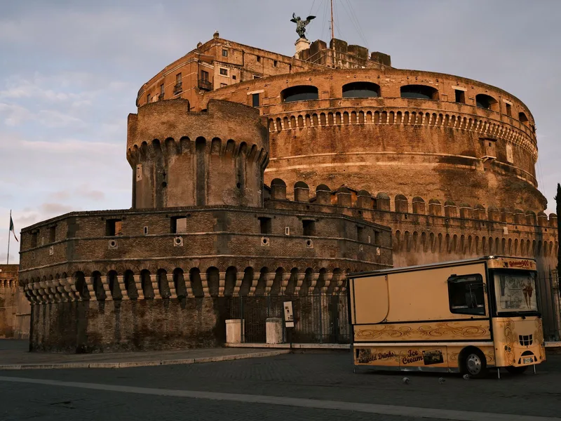
- Centro storico to the Vatican — about 25 on foot, past Castel Sant'Angelo.
Which District Suits Which Trip
A short, opinionated orientation:
- Centro Storico — you are inside the postcard. Beautiful, expensive, busy, and genuinely walkable to almost everything.
- Monti — the centre's best compromise: rione I, five minutes from the Forum, but still a neighbourhood with its own bars and residents.
- Trastevere — two neighbourhoods in one, quiet and domestic by day, extremely busy by night.
- Testaccio — the food district, built on a hill made of ancient broken amphorae, and still where Romans go to eat.
- Prati — orderly, residential, close to the Vatican, and where you go when you want a normal city rather than a historic one.
- Esquilino — the most genuinely multicultural part of central Rome, and the most useful if you're arriving by train.
For a full breakdown of where to base yourself, our where to stay guide goes neighbourhood by neighbourhood with the trade-offs spelled out.
Why Bother With Any of This
Because Rome rewards knowing where you are. The difference between wandering the centre and reading it is the difference between a pretty maze and a city with a shape — one where you can see that Monti and the Forum are neighbours for a reason, that Prati's grid is an argument about what Italy wanted to be in 1870, and that the plaque above your head has been quietly telling you your location for four hundred years.